Search This Blog

Wednesday, October 21, 2015

Lion's Head

The leaves were a little past peak and the day was cloudy, but that didn't stop us from having a truly enjoyable day. We were blessed to have one of our members who is a local resident, Barbara, lead us on this hike. She shared a wealth of knowledge which heightened our experience.

Parking is easy to find, and the lot was empty when we arrived (contrary to Columbus day, when cars were lined down the street).

It was so nice to have a guide to stop and highlight things that I blindly passed over when I was there the week before. One was a reedy plant called scouring rush that the pioneers used to scrub pots, and another was the small chips of garnet in the rocks beneath our feet.

Nature's Brillo Pad

Garnet

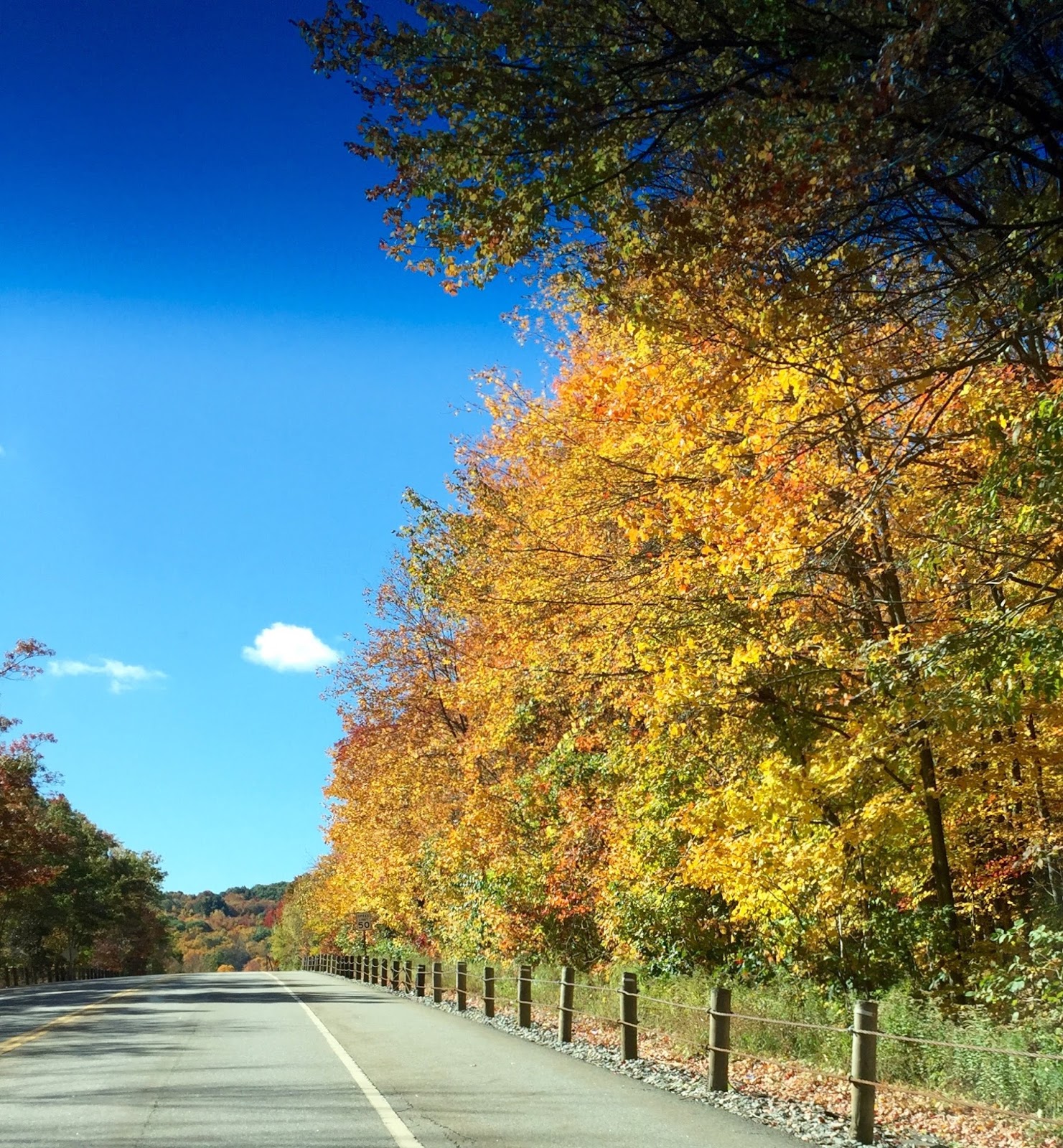
The path up is a little steep, but not treacherous, giving us a good workout (my heart-rate monitor often showed 160). Barbara led us beyond the well-known blazed trail and a little to the left. 
We bypassed this popular trail to the top

A short jaunt later, and we were treated to a secret vista to the west.


After soaking up the stunning scenery, our savvy skipper squired us to the top of the mountain on another little-known path.


We enjoyed spectacular views to the east and south


It was on the top of the mountain with this pleasing scenery that we had our devotional time.

Philippians 4:12 "I have learned the secret of being content in any and every situation, whether well-fed or hungry, whether living in plenty or in want." 
When we're on the hiking trail, we can pack heavy and experience the delight of sharing our extras with others, although it does make our journey harder. We could also choose to pack lightly, so we can cover more miles. Either way, we've had a good workout. Just as both options have their advantages, it's the same in life. People with luxury items have more to maintain, but they also have more to share. Those who have little may accomplish more for Christ because their energies are streamlined and they have fewer distractions. Whether our life-packs are abundant or light, we would do well to ask God to help us be content in living for Him and to serve others to the best of our abilities. (Adapted from the book "With God on the Hiking Trail" by Nathan Chapman.)

Barbara invited us to her home, where we enjoyed a tour of her family's amazing property.


Trametes versicolor
Also called "turkey tail"


Interesting fungi -maybe in the Geastrum family? 

All in all, a great hike with great companions, a great guide/hostess, and great day enjoying the wonder of God's creation.


Address: 84 Bunker Hill Road, Salisbury CT
Length: 2.3 miles
Duration: 1 hour, 35 minutes
Calories burned: 700
Difficulty: moderate


Saturday, October 17, 2015

Marion Wilcox Park

It was a breezy and chilly 43 degrees, but once we were on the trail, we could forget the cold and enjoy the beauty of our surroundings.

Although parking is available at Marion Wilcox Park, we began our hike at the northern boundary of Penwood State Park so we could start our hike with a climb. We ascended the trail, and in less than 15 minutes we reached the first glorious lookout.


We continued on, planning to take the yellow trail, but missed it entirely because we were gazing at this view:


The blue trail meets yellow again farther down the path, so this was just a little route change. However, when we reached that point we were again distracted by another view :)


We decided to explore further and were rewarded with vistas both to the west and to the east:


We turned around, backtracked a little, and spied a blaze through the trees. We left the beaten path and improvised a short tramp through the woods to reach the trail.


It's hard to describe the tranquility experienced in the middle of the woods on a crisp fall day. With the occasional gust of wind, the leaves would slowly float down. It's an atmosphere that calms the soul.


We reached a beautiful meadow and found a good place to have our devotions at a picnic table in the sun. This was near the Marion Wilcox Park parking lot (and a convenient port-a-potty).


Psalm 23:6 "Surely goodness and mercy shall follow me all the days of my life, and I will dwell in the house of the Lord forever." Hikers often choose to sleep in the outdoors, forgoing the warmth, protection and comforts of home and sleeping on the cold hard ground. God longs for us to dwell in His house, but sometimes we choose to run to the forest instead. Living without faith and ignoring the promises of God, we disobey His word, usually because we've confused instant gratification with true joy. Leaving His protection invites eternal consequences. If you're out in the cold, ominous forest of spiritual rebellion, return to Jesus. (Adapted from "With God on the Hiking Trail" by Nathan Chapman)

We moved on, ready to pick up the yellow trail which leads back to the blue and thus to our starting point. We almost missed this. We did miss the first barely visible blaze (seen below on the left - it was spied by the last in our group after we turned) and because the path wasn't clear, we weren't sure it was really a path. But it turned out to be a fun path with a mild ascent.


As we headed back to our cars, we remarked that we enjoyed this hike very much. With the combination of my companions, the views, the gently falling leaves, and the vibrant colors, this is a hike that made my heart sing!


Our route as logged by GPS via Runkeeper


Online Map


Address for GPS: 22 Wintonbury Road, Simsbury, CT - There is room for several cars to park where the road dead ends. Take the blue-blazed trail to the north.
Trail Map: https://skizilla.files.wordpress.com/2009/12/wilcox-park-trail-map1.pdf and also wintonburylandtrust.org/wp-content/uploads/2012/06/HikeInfo.doc
Length: 3.10 miles
Duration: 1 hour, 50 minutes
Calories burned: 600
Difficulty level: moderate


Thursday, October 15, 2015

Mount Tom State Park

What a beautiful time of year, especially in New England! Our drive to Mount Tom in New Preston/Litchfield was as enjoyable as the hike. We were oohing and aahing over the beautiful fall colors - especially those of us who are not Connecticut born and raised. We’d seen autumn beauty before, but the density of the trees here makes it even more spectacular. It’s as if the mountains are covered with beautiful carpeting. God’s creation is incredible!


We began our hike with a picnic beside Mount Tom Pond. 


The yellow-blazed trail begins at the smaller, upper parking lot. 


Very soon we reached a split in the path. A few days earlier, my husband and I incorrectly went left. It still takes you there, but a we passed a person on the way who told us we'd taken the wrong path. At the split the correct path is over some rocks and slightly to the right.  The ascent is rooted and rocky - in other words, fun! We reached the stone tower at the peak in less than 30 minutes.  After climbing three flights of stairs (keep your head down near the top or you'll smack it on the cement above), we were rewarded with a 360 degree view - one of the best views in the state.


Unlike the previous Sunday when the place was teeming with families, today the tower area was deserted, which made it a good place to have our devotional time.  It’s interesting that this was the devotional that was slated for our hike on Mohawk Mountain. Circumstances got in the way that day, so it was postponed. Appropriately enough, the theme was God is our Fortress, our Strong Tower.


Psalm 125:2 As the mountains surround Jerusalem, so the Lord surrounds His people, both now and forever more.
A mountain range in Biblical days was a natural fortress that provided protection from enemies. David did not have to toil to make his refuge, God created it. You and I can also find God’s love and protection by living in the middle of His will and presence. 
When we look out over a mountain scape, the surrounding towering mountains seem strong and immovable - like the protection and love God offers his people. Daily be comforted and encouraged by knowing you are surrounded by the Lord. Thank God for surrounding us with His love and mercy. Endeavor to stay in a place where we are encompassed by His will.*
*Adapted from "With God on the Hiking Trail" by Nathan Chapman 

There are several new and serious prayer concerns among our group, so we concluded our devotional with a more in-depth prayer time. It is such a privilege and a blessing to approach God’s throne surrounded by His glorious creation. Soon our time for soaking up the Son and the sunshine was over, and it was time for our descent.

The first time I did this hike, I opted not to bring my poles, which was fine on the way up and certainly fine for those who are younger. But these 58-year-old knees prefer some assistance when going downhill over rocky terrain, and I was glad I chose to bring them this time.

On our way home, we made a quick stop at Bantam Bread Company to peruse their selection of cheese, olive oil, pastries, etc. and inhale the wonderful aroma of fresh-baked bread.

Then we resumed our oohing and aahing!


Our Route

Note: From Memorial Day to Labor Day, the park charges $6 for residents and $10 for non-residents on weekdays and $9 for residents and $15 for non-residents on weekends. It is open daily 8 a.m. to sunset.

Directions: West of Litchfield, take Route 202 and turn south onto Mt. Tom Rd.
Trail Map: http://www.ct.gov/deep/lib/deep/stateparks/maps/mttom.pdf
Length: 1.53 miles
Duration: 1 hour
Calories burned: 254
Difficulty level: easy/moderate


Tuesday, September 29, 2015

Mohawk Mountain

Update: I have learned many things in the three short years I've been hiking. Little did I know that I could have used my Runkeeper app to follow the route in the same manner as the GPS in my car. It would have come in handy!

Since this was not a loop, we took two cars and drove to the top of the mountain via Toumey Road (also spelled Toomey - when you come to the stop sign, turn right). Leaving one car there, we piled into the other car and drove back to the junction of Toumey Road and Route 4 to park the second car.

We took the gravel road just south of the parking area (parallel to Rt. 4) and turned right to enter the blue-blazed trail, starting what should have been a 2.91 mile hike.

This is the kind of trail we really enjoy, rocky with an incline.

It wasn't long until we came to the first beautiful lookout

We continued on and reached another great view at the ski area

Soon after we took a wrong turn. We were still following blue blazes, so we thought we were on the right path. But the path became more and more narrow and we found ourselves wading through some thorny weeds. Then we met, Dayna, who had taken the same wrong turn. She had walked all the way to Great Hollow Road and turned around. Meeting her saved us more wayward steps.

Dayna joined us and we retraced our steps. She added to our enjoyment, sharing interesting adventures about the amazing women in her family. At the same time, I was wondering how we were going to find the trail to the top. Enter our Good Samaritan, a gentleman named Avi, whom we discovered is a doctor in the area. 

If you need a guide in the woods, who better than a handsome young doctor?

Even though Dr. Avi was headed home, he turned around and led us all the way up to where we had taken the wrong turn. He even offered to lend us his hiking book, which we could have mailed back to him. What a gentleman! 

The place of confusion
The trail map showed Cunningham Tower and Mohawk Tower. I didn't see Mattatuck Tower on the map, so we had turned right. Dr Avi got us straightened out. The sign shouldn't be read as "Mattatuck Trail Tower" but rather "Mattatuck Trail. Tower 1.4 m."

We finally reached the top (where we had parked a car) and the gorgeous view


A "small world" note: I was surprised to learn that Dr. Avi is from Ohio (my home state) and went to medical school at Ohio State University, the alma mater of my husband and our oldest son, and soon to be the alma mater of our youngest son. And lo and behold, Dayna is from Ohio also!

Our wandering route

Coordinates for GPS: 41.821686, -73.296789
Trail Map: http://www.ct.gov/deep/lib/deep/stateparks/maps/mohawk_n_summer.pdf
Length: 4.31 miles (should be 2.91 if you stay on the right path)
Duration: 2 hours, 53 minutes
Calories burned: 1,172!
Difficulty level: moderate


Saturday, September 26, 2015

Huckleberry Hill


I love living in Connecticut. You can drive down a busy road, park and take a few steps, and you are in the forest. Such is the case with Huckleberry Hill Recreation Area in Avon.

The sunlight dappled through the trees as we began our walk on the yellow-blazed trail in the northwest corner.
 

An appropriate setting when the devotional theme is "Jesus is the light of the world."


When the trail split, we turned right and followed the yellow blazes until we reached the blue trail to the left. We were hoping for a rise in terrain and this was it - it wasn't very steep, but it was enough to get our hearts pumping a bit harder. After this little jaunt (just 0.4 miles) we turned right and were back on the yellow trail, which circled around to the blue trail to repeat the hill climb. (Although the GPS makes it appear that we were on a different trail, we were pretty certain it was the same blue trail we were on earlier.??)


We paused here for our devotional: When camping in the forest, the darkness of night can test a person's nerves. But then dawn arrives and the darkness is transformed. A painting emerges from the dark canvas, just as the light of Christ reveals the full beauty of life. Walking with Him gives life purpose - our hearts will never travel in darkness alone.*


John 8:12 When Jesus spoke again to the people, he said, "I am the light of the world. Whoever follows me will never walk in darkness, but will have the light of life."


We continued up the small blue trail and this time when we reached the yellow trail again, we turned left and headed back. 

This is a nice hike when you're pressed for time and need to get away and de-stress for a little while. As the saying goes, it's impossible to be in the woods and be in a bad mood!

Address: Park behind the building at 114 Huckleberry Hill Road. Walk across the field and look for the yellow-blazed trail.
Trail Map: http://www.avonct.gov/sites/avonct/files/file/file/huckleberry_hill_trail_map.pdf
Length: 2.36 miles
Duration: 1 hour, 15 minutes
Calories burned: 225
Difficulty level: easy
Climb:
*Adapted from "With God on the Hiking Trail" by Nathan Chapman


Tuesday, September 22, 2015

Mile of Ledges and Tory Den Trail

What an exciting hike! Definitely our most strenuous to date. We parked two cars on Greer Road in Burglinton, CT. The trailhead was easy to find on the left about 0.2 mile after turning onto Greer from W. Chippens Hill Road. We left the second car at the end of the trail just before the end of Greer Road.

The trail was well marked - blue blazes with a yellow dot. There were only a few instances where we were uncertain, but we were able to figure it out. After we turned north, some of the blazes were blue only, but we kept following them and then occasionally the yellow dot would reappear. Some blazes were painted on the rocks.

We had some pauses waiting on each other to climb or get through a narrow passage. We really enjoyed the challenges.


We were surprised by a porcupine, but after a few moments he moseyed off.


Standing on this cliff was exhilarating. We were awed by the beauty around us. 


Our devotional was based on James 2:9, reminding us not to show favoritism. When we trek with Jesus, we all find a place at His table regardless of our social position, financial status, or physical abilities, and we should strive to see others through Jesus' eyes.*

The historical significance took us back in time as we enjoyed the unique rock formations. This is a great hike. We all agreed that we would like to return.

Approximate address for GPS: 23 Greer Road
Map and the history: http://www.burlingtonlandtrust.org/files/Ramble.pdf
Length: 2.55 miles
Duration: 2 hours, 55 minutes
Calories burned: 876
Difficulty level: strenuous
Climbs:
*Adapted from "With God on the Hiking Trail" by Nathan Chapman