Search This Blog

Showing posts with label Hiking. Show all posts

Saturday, August 25, 2018

Sunnybrook State Park


It was DEEP’s 2018 Sky’s the Limit Challenge that led us to Sunnybrook State Park in Torrington, Connecticut.


The trail begins with a tree-lined stroll
A bridge took us over this pretty stream

We rounded the bend and enjoyed this idyllic scene


Twenty minutes into our stroll, we stopped for a photo in front of this enormous boulder. An internet search revealed that this rock has a name, Dino Testone Boulder, named after a Connecticut mineralogist. It's a glacial erratic - a boulder transported and deposited by a glacier. Having been transported from another area, the boulder has characteristics that are different from the surrounding mineralogy.


Some trail sections are softened by a blanket of pine needles, which always makes for a pleasant walk. Others are dotted with moss-covered stones.


We enjoyed seeing ferns, wildflowers, and a wide variety of interesting fungi.


The beauty of fungi always surprises me.


Although this was a relatively easy trail, it did have enough ups and downs to burn around 600 calories! It was good exercise and a very enjoyable hike.


Address: 1612 Newfield Road, Torrington CT 06790 (easy to find, plenty of parking)
Online Map: https://www.ct.gov/deep/lib/deep/stateparks/skysthelimit/Sunnybrook.pdf
Length: 3.5 miles
Runkeeper map: https://runkeeper.com/user/SusanGayle/route/4807865
Difficulty Level: Easy
Calories: 600 


Thursday, October 15, 2015

Mount Tom State Park

What a beautiful time of year, especially in New England! Our drive to Mount Tom in New Preston/Litchfield was as enjoyable as the hike. We were oohing and aahing over the beautiful fall colors - especially those of us who are not Connecticut born and raised. We’d seen autumn beauty before, but the density of the trees here makes it even more spectacular. It’s as if the mountains are covered with beautiful carpeting. God’s creation is incredible!


We began our hike with a picnic beside Mount Tom Pond. 


The yellow-blazed trail begins at the smaller, upper parking lot. 


Very soon we reached a split in the path. A few days earlier, my husband and I incorrectly went left. It still takes you there, but a we passed a person on the way who told us we'd taken the wrong path. At the split the correct path is over some rocks and slightly to the right.  The ascent is rooted and rocky - in other words, fun! We reached the stone tower at the peak in less than 30 minutes.  After climbing three flights of stairs (keep your head down near the top or you'll smack it on the cement above), we were rewarded with a 360 degree view - one of the best views in the state.


Unlike the previous Sunday when the place was teeming with families, today the tower area was deserted, which made it a good place to have our devotional time.  It’s interesting that this was the devotional that was slated for our hike on Mohawk Mountain. Circumstances got in the way that day, so it was postponed. Appropriately enough, the theme was God is our Fortress, our Strong Tower.


Psalm 125:2 As the mountains surround Jerusalem, so the Lord surrounds His people, both now and forever more.
A mountain range in Biblical days was a natural fortress that provided protection from enemies. David did not have to toil to make his refuge, God created it. You and I can also find God’s love and protection by living in the middle of His will and presence. 
When we look out over a mountain scape, the surrounding towering mountains seem strong and immovable - like the protection and love God offers his people. Daily be comforted and encouraged by knowing you are surrounded by the Lord. Thank God for surrounding us with His love and mercy. Endeavor to stay in a place where we are encompassed by His will.*
*Adapted from "With God on the Hiking Trail" by Nathan Chapman 

There are several new and serious prayer concerns among our group, so we concluded our devotional with a more in-depth prayer time. It is such a privilege and a blessing to approach God’s throne surrounded by His glorious creation. Soon our time for soaking up the Son and the sunshine was over, and it was time for our descent.

The first time I did this hike, I opted not to bring my poles, which was fine on the way up and certainly fine for those who are younger. But these 58-year-old knees prefer some assistance when going downhill over rocky terrain, and I was glad I chose to bring them this time.

On our way home, we made a quick stop at Bantam Bread Company to peruse their selection of cheese, olive oil, pastries, etc. and inhale the wonderful aroma of fresh-baked bread.

Then we resumed our oohing and aahing!


Our Route

Note: From Memorial Day to Labor Day, the park charges $6 for residents and $10 for non-residents on weekdays and $9 for residents and $15 for non-residents on weekends. It is open daily 8 a.m. to sunset.

Directions: West of Litchfield, take Route 202 and turn south onto Mt. Tom Rd.
Trail Map: http://www.ct.gov/deep/lib/deep/stateparks/maps/mttom.pdf
Length: 1.53 miles
Duration: 1 hour
Calories burned: 254
Difficulty level: easy/moderate


Tuesday, September 29, 2015

Mohawk Mountain

Update: I have learned many things in the three short years I've been hiking. Little did I know that I could have used my Runkeeper app to follow the route in the same manner as the GPS in my car. It would have come in handy!

Since this was not a loop, we took two cars and drove to the top of the mountain via Toumey Road (also spelled Toomey - when you come to the stop sign, turn right). Leaving one car there, we piled into the other car and drove back to the junction of Toumey Road and Route 4 to park the second car.

We took the gravel road just south of the parking area (parallel to Rt. 4) and turned right to enter the blue-blazed trail, starting what should have been a 2.91 mile hike.

This is the kind of trail we really enjoy, rocky with an incline.

It wasn't long until we came to the first beautiful lookout

We continued on and reached another great view at the ski area

Soon after we took a wrong turn. We were still following blue blazes, so we thought we were on the right path. But the path became more and more narrow and we found ourselves wading through some thorny weeds. Then we met, Dayna, who had taken the same wrong turn. She had walked all the way to Great Hollow Road and turned around. Meeting her saved us more wayward steps.

Dayna joined us and we retraced our steps. She added to our enjoyment, sharing interesting adventures about the amazing women in her family. At the same time, I was wondering how we were going to find the trail to the top. Enter our Good Samaritan, a gentleman named Avi, whom we discovered is a doctor in the area. 

If you need a guide in the woods, who better than a handsome young doctor?

Even though Dr. Avi was headed home, he turned around and led us all the way up to where we had taken the wrong turn. He even offered to lend us his hiking book, which we could have mailed back to him. What a gentleman! 

The place of confusion
The trail map showed Cunningham Tower and Mohawk Tower. I didn't see Mattatuck Tower on the map, so we had turned right. Dr Avi got us straightened out. The sign shouldn't be read as "Mattatuck Trail Tower" but rather "Mattatuck Trail. Tower 1.4 m."

We finally reached the top (where we had parked a car) and the gorgeous view


A "small world" note: I was surprised to learn that Dr. Avi is from Ohio (my home state) and went to medical school at Ohio State University, the alma mater of my husband and our oldest son, and soon to be the alma mater of our youngest son. And lo and behold, Dayna is from Ohio also!

Our wandering route

Coordinates for GPS: 41.821686, -73.296789
Trail Map: http://www.ct.gov/deep/lib/deep/stateparks/maps/mohawk_n_summer.pdf
Length: 4.31 miles (should be 2.91 if you stay on the right path)
Duration: 2 hours, 53 minutes
Calories burned: 1,172!
Difficulty level: moderate


Saturday, September 26, 2015

Huckleberry Hill


I love living in Connecticut. You can drive down a busy road, park and take a few steps, and you are in the forest. Such is the case with Huckleberry Hill Recreation Area in Avon.

The sunlight dappled through the trees as we began our walk on the yellow-blazed trail in the northwest corner.
 

An appropriate setting when the devotional theme is "Jesus is the light of the world."


When the trail split, we turned right and followed the yellow blazes until we reached the blue trail to the left. We were hoping for a rise in terrain and this was it - it wasn't very steep, but it was enough to get our hearts pumping a bit harder. After this little jaunt (just 0.4 miles) we turned right and were back on the yellow trail, which circled around to the blue trail to repeat the hill climb. (Although the GPS makes it appear that we were on a different trail, we were pretty certain it was the same blue trail we were on earlier.??)


We paused here for our devotional: When camping in the forest, the darkness of night can test a person's nerves. But then dawn arrives and the darkness is transformed. A painting emerges from the dark canvas, just as the light of Christ reveals the full beauty of life. Walking with Him gives life purpose - our hearts will never travel in darkness alone.*


John 8:12 When Jesus spoke again to the people, he said, "I am the light of the world. Whoever follows me will never walk in darkness, but will have the light of life."


We continued up the small blue trail and this time when we reached the yellow trail again, we turned left and headed back. 

This is a nice hike when you're pressed for time and need to get away and de-stress for a little while. As the saying goes, it's impossible to be in the woods and be in a bad mood!

Address: Park behind the building at 114 Huckleberry Hill Road. Walk across the field and look for the yellow-blazed trail.
Trail Map: http://www.avonct.gov/sites/avonct/files/file/file/huckleberry_hill_trail_map.pdf
Length: 2.36 miles
Duration: 1 hour, 15 minutes
Calories burned: 225
Difficulty level: easy
Climb:
*Adapted from "With God on the Hiking Trail" by Nathan Chapman


Tuesday, September 22, 2015

Mile of Ledges and Tory Den Trail

What an exciting hike! Definitely our most strenuous to date. We parked two cars on Greer Road in Burglinton, CT. The trailhead was easy to find on the left about 0.2 mile after turning onto Greer from W. Chippens Hill Road. We left the second car at the end of the trail just before the end of Greer Road.

The trail was well marked - blue blazes with a yellow dot. There were only a few instances where we were uncertain, but we were able to figure it out. After we turned north, some of the blazes were blue only, but we kept following them and then occasionally the yellow dot would reappear. Some blazes were painted on the rocks.

We had some pauses waiting on each other to climb or get through a narrow passage. We really enjoyed the challenges.


We were surprised by a porcupine, but after a few moments he moseyed off.


Standing on this cliff was exhilarating. We were awed by the beauty around us. 


Our devotional was based on James 2:9, reminding us not to show favoritism. When we trek with Jesus, we all find a place at His table regardless of our social position, financial status, or physical abilities, and we should strive to see others through Jesus' eyes.*

The historical significance took us back in time as we enjoyed the unique rock formations. This is a great hike. We all agreed that we would like to return.

Approximate address for GPS: 23 Greer Road
Map and the history: http://www.burlingtonlandtrust.org/files/Ramble.pdf
Length: 2.55 miles
Duration: 2 hours, 55 minutes
Calories burned: 876
Difficulty level: strenuous
Climbs:
*Adapted from "With God on the Hiking Trail" by Nathan Chapman


Friday, August 28, 2015

Chauncey Peak

Update: A new switchback trail eliminated the rock climb. This makes the peak much more accessible. Kudos to the crew that worked so hard to make this happen!

The trail guide provided by the city described this hike as moderate, and I am glad they did, as we may not have tried it otherwise. Rating the difficulty of a trail is subjective. For us, this trail was strenuous. But we will be back, as it was a blast!

After reading reviews, we learned we should start to the right of the dam and go counter-clockwise.


The beginning trail is very steep, and it would have been much harder to go down than up. It's a great feeling to put those muscles to the test! It leveled off a bit, and we thought the hard part was over. Little did we know what was ahead.

Here we were, face to face with rocks. Steep rocks. And to be honest, I'm no spring chicken. As a matter of fact, I don't think any of the participants were under 50 years old, and some are in their 60s.

There was no turning back, unless we wanted to skid down on our rear ends. So up we went!


We felt like wonder women when we reached the summit :)


This was our most difficult trail to date, and the view was definitely worth it.


Providentially, our devotional turned out to be based on James 1:2-3
When our hike is harder we get stronger and we revel in it. We enjoy the difficult trails on our hikes, but resist them in our lives. Counting it all joy is much easier on a trail than in a trial, but the testing of our faith develops perseverance. Sometimes we have to keep persevering to reach a better view ahead.* 

"Consider it pure joy whenever you face trials of many kinds, because you know that the testing of your faith produces perseverance."


As we continued, it looked like we were headed down, but we started going up and were rewarded with another view. We left the trail to explore along the quarry side, and as we ventured north we could see the Hartford skyline.


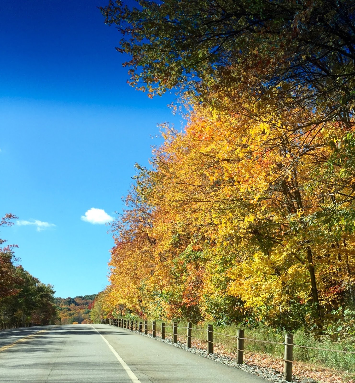
Returning to the trail, we reached another amazing view, this time overlooking the reservoir.


We descended the mountain, crossed a footbridge and turned left to depart from the blue trail and return to the parking lot. This was a very pretty walk, and a nice way to wind down from our adventure.


Address for GPS: 703 Westfield Road, Meriden CT - this will take you to the one-way entrance.
Trail Map: http://www.meridenlandtrust.com/Giuffrida_quad.pdf
Length: 2.25 miles
Duration: 2:38 - We did a lot of exploring - this could be done in less time.
Calories burned: 727
Difficulty level: strenuous

*Adapted from "With God on the Hiking Trail" by Nathan Chapman